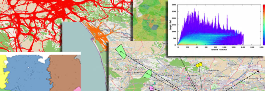
The technologies of mobile communications pervade our society and wireless networks sense the movement of people, generating large volumes of mobility data, such as mobile phone call records and GPS tracks. We believe in the striking analytical power of massive collections of trajectory data in unveiling the complexity of human mobility. We present M-Atlas, a mobility querying and data mining system centered onto the concept of trajectory. Besides the mechanisms for storing and querying trajectory data, M-Atlas has mechanisms for mining trajectory patterns and models that, in turn, can be stored and queried. The knowledge discovery process is based on these kind of data and help the user to answer to his/her questions of mobility analysts: e.g what are the frequent patterns of people’s travels? How big attractors and extraordinary events influence mobility? How to predict areas of dense traffic in the near future? How to characterise traffic jams and congestions?
M-Atlas is equipped with a querying and mining language makes this analytical process possible and providing the mechanisms to master the complexity of transforming raw GPS tracks into mobility knowledge. M-Atlas is centered onto the concept of a trajectory, and the mobility knowledge discovery process can be specified by M-Atlas queries that realize data transformations, data-driven estimation of the parameters of the mining methods, the quality assessment the obtained results, the quantitative and visual exploration of the discovered behavioral patterns and models, the composition of mined patterns, models and data with further analyses and mining, the incremental mining strategies to address scalability.
Other important facets of M-Atlas include (i) the privacy-preserving data publishing and mining techniques, designed to transform trajectory datasets into anonymous forms in such a way that strong privacy-protection guarantees can coexist with high data utility (ii) the analysis of different forms of mobility data, such as mobile phone call records, characterised by complementary weaknesses and strengths with respect to GPS trajectories.


